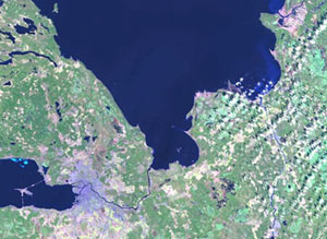
High and Very High resolution satellite data
ResourceView utilizes the must recent satellite imagery to insure that the database accurately reflects the up-to-date developments and changes.
A wide range of satellite imagery is used in the production of the databases such as: Landsat 7 and 5, Spot, IRS, Ikonos, Eros and others.
The satellite data may serve as information source for:
- Thematic information regarding clutter and vectors
- DEM
- Image backdrop
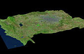
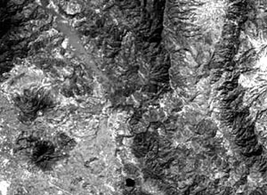
Landsat 7 satellite imagery
Advantages:
- Very fast delivery times (1-2 days)
- 15 - 30m resolution
- Updated frequently
- Good global coverage
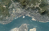
Spot/IRS-1C satellite imagery
Advantages:
- 5 - 10m resolution
- Good global coverage
- Updated frequently
- Quick delivery (1-2 weeks)
- Stereo registration possible
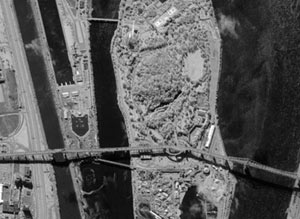
Very high resolution satellite imagery
Eros & Ikonos satellite imagery
Advantages:
- 1m resolution
- 11 bit data enables interpretation in shadows
- Stereo registration possible