Map Data Sources
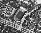
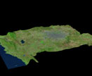
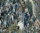
ResourceView utilizes imagery from satellite alternatively from airborne sensors as source in the production of the Resourceview Product. The selection of image source is made in an optimal way considering the specification of the database to be produced and the area to be covered. Variables of importance when selecting image source are as follows:
- geometrical resolution of the database
- thematic content of the database
- accuracy of the database
- area to be covered


