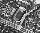
Airborne Sensors
To produce the ResourceView City high resolution Products ResourceView one of the information sources besides satellite data is high resolution and high quality aerial images from local operators, who capture them to our specifications.
